Parts of British Columbia are now under snowfall warnings and flood watches as an atmospheric river arrives along the west coast.
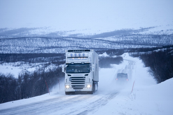
At higher elevations, the system is expected to generate heavy snow, with Environment Canada issuing a yellow snowfall warning for the Pine Pass area.
Up to 15 centimetres of snow is expected to fall before it turns to rain later Monday.
Avalanche Canada is also warning about conditions in the Peace Region. The avalanche danger rating is listed as ‘High’ in the alpine and treeline areas.
Heavy snow, high winds and warming temperatures are expected to begin a natural avalanche cycle across parts of the backcounty in Northeast BC.

The B.C. River Forecast Centre says northern and western Vancouver Island and the central coast are now under flood watch, with rising temperatures expected to create snowmelt that will add to the heavy rain.
The weather office says the atmospheric river is expected to bring up to 250 millimetres of rain to some areas by Wednesday, and warnings, ranging from rain to wind and snowfall, cover much of Vancouver Island, the Howe Sound, the North Shore of Metro Vancouver, the Fraser Canyon, the Okanagan and central Interior from Williams Lake to Prince George.
The River Forecast Centre says the flood risks in the coastal regions of B.C. are likely to rise as the atmospheric river moves across the province throughout the week.
With files from The Canadian Press