DAWSON CREEK, B.C. - The Peace River Regional District is asking residents across Northeast B.C. to weigh in on the hazards that pose the greatest risks to their communities as part of the region’s first Hazard, Risk and Vulnerability Analysis (HRVA).
The assessment, being developed in partnership with the City of Dawson Creek, District of Chetwynd, District of Hudson’s Hope, District of Tumbler Ridge and Village of Pouce Coupe.
The HRVA is requirement under British Columbia’s Emergency and Disaster Management Act.
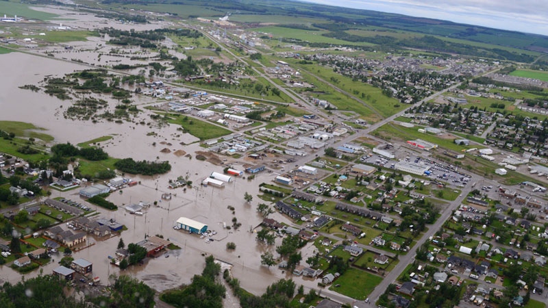
According to the PRRD, the HRVA will be used to calculate risk scores for hazards such as wildfires, flooding, windstorms and utility outages.
While technical data helps determine the likelihood of a hazard occurring, officials say public feedback is critical to understanding the real-world impacts those events have on people, homes and businesses.
An online survey is now open and will remain available until August 27. Residents can also share their perspectives at a series of nine in-person engagement events taking place throughout the Peace Region in August.
The public consultation is designed to help inform regional risk scores, share findings from an earlier vulnerability assessment and identify priorities for future emergency preparedness and risk-reduction efforts.
Earlier this year, residents were asked to share their experiences with hazards including wildfires, flooding, severe weather and power outages.
The PRRD says that information helped establish the foundation for the region’s first HRVA and identify the concerns that matter most to local communities.
Upcoming engagement events are scheduled in communities including Arras, Bear Canyon, Pouce Coupe, Dawson Creek, Hudson’s Hope, Chetwynd, Charlie Lake, Tomslake and Sunset Prairie between August 11 and the 23rd.
Officials say feedback collected during the current round of engagement will help determine what actions are needed to reduce risks and improve community resilience across the Peace Region.