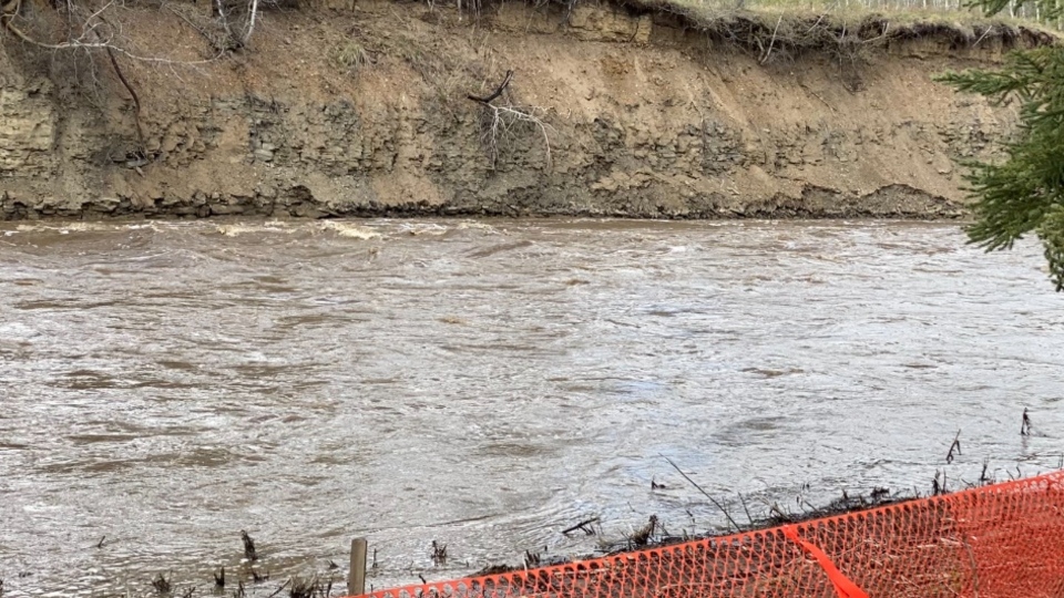
FORT ST. JOHN, B.C. -- Rivers in the Peace Region are expected to rise even further, where there is a flood watch in place ahead of heavy rainfall in the forecast.
Environment Canada has issued a rainfall warning as a low pressure system expected to bring heavy rainfall to the Peace Region, starting on Friday afternoon. Meanwhile, the B.C. River Forecast Centre upgraded a high streamflow advisory to a flood watch for East Peace Region Friday.
Communities across the region could see over 30 millimetres before late Saturday. However, areas near the Rocky Mountains are likely to have the highest rainfall. The system possibly bringing 80 millimetres to Chetwynd and Hudson’s Hope.
The B.C. River Forecast Centre says, there’s potential for 5 to 10 year river flows with the peak expected late Saturday into Sunday. The potential for fast flowing waterways is higher in areas around Hudson’s Hope, Moberly Lake, Chetwynd, Taylor, and Fort St. John.
Environment Canada says heavy downpours could cause flash floods and water pooling on roads.
Meteorologist Bobby Sekhon added “If you’re going out camping or doing any other recreational activities please be careful of any fast flowing streams or rivers. And even if you are staying local, make sure you have good drainage around and always have your emergency kit handy.”
While it looks like wet weather this weekend, a hot dry week is ahead with temperatures in the low to mid twenties. Sekhon saying a fast melting snow pack is also of concern since the the ground is already statured.

